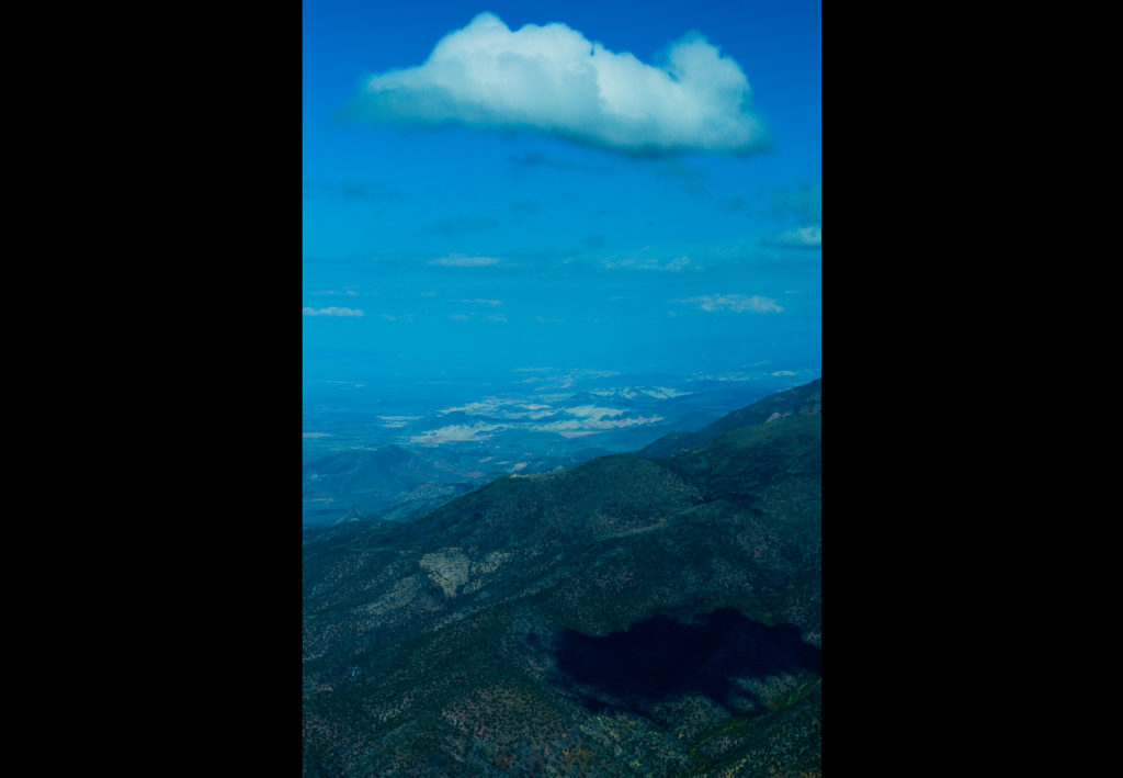
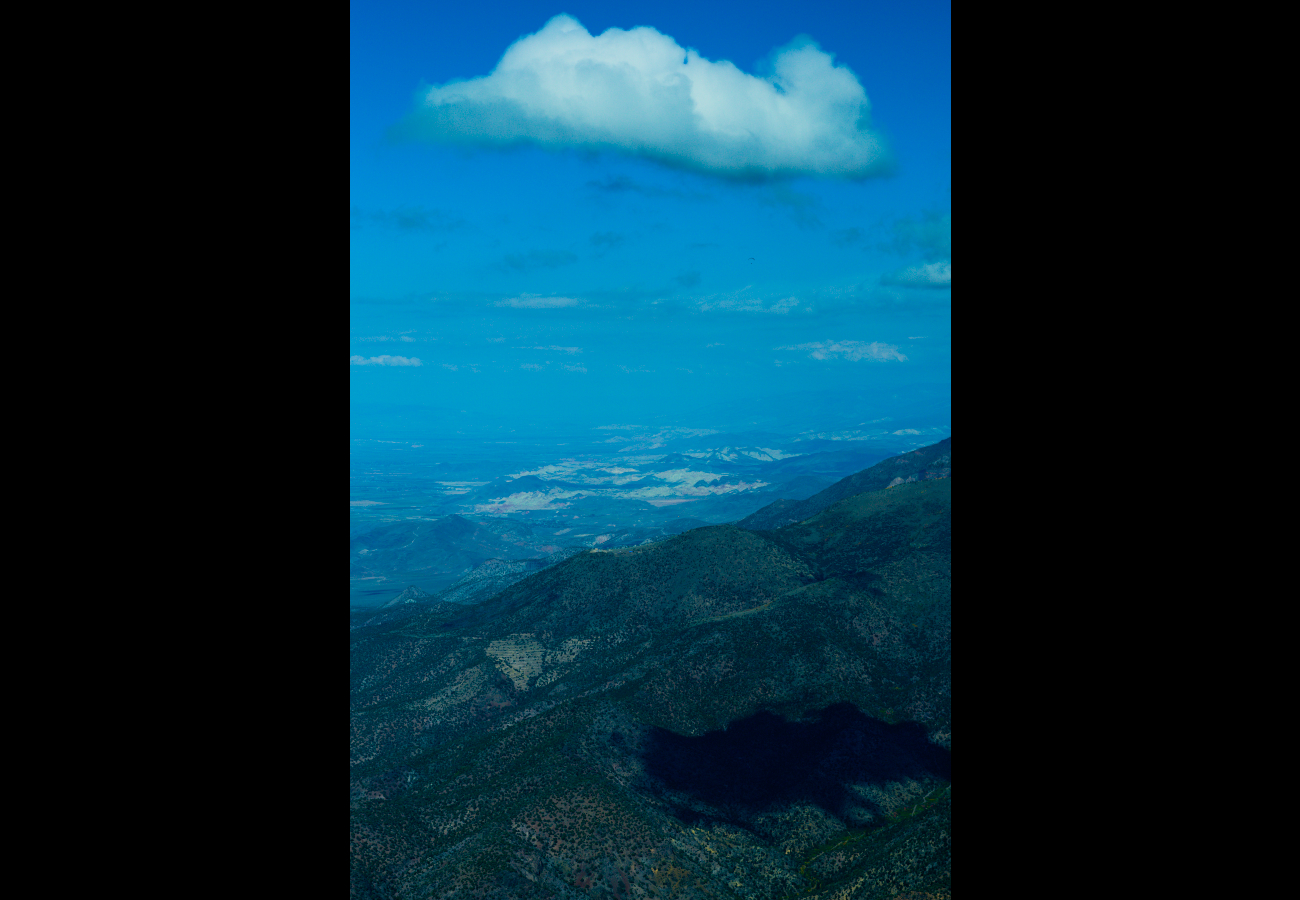
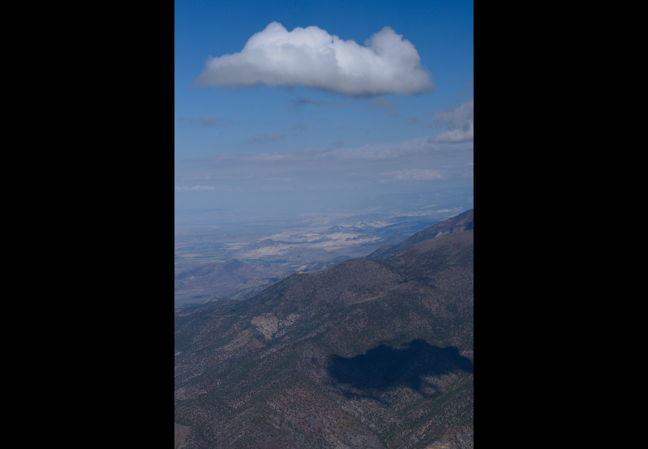
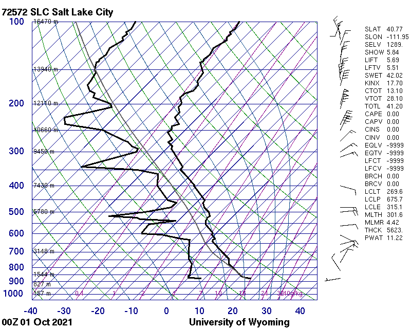
This image shows a stepped cloud base where you can see two different air masses in relatively the same area. The cooler air mass further away in the image has the cloud base at roughly 11,000ft while the warmer air masses cloud base (the closer clouds) is roughly at 11,600ft to maybe 12,000ft. This image was taken in a paraglider at an altitude of 11,360ft, about 3000ft from ground level. From viewing the Skew-T from Salt Lake City we can see that there was a very good lapse rate and an unstable lower atmosphere at the time of this photo. Aso indicated by the abundant thermals that were found to keep me aloft while flying.