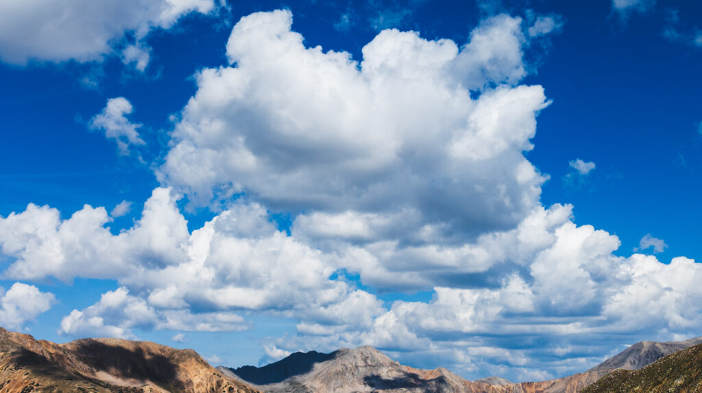
I captured this image from a bowl on my way down from Huron Peak at about 10:50 am on September 8th, 2024. I was at an elevation of about 12,265 ft (3738 m), and according to the skew-t diagram for that day, these clouds are probably at about 19,350 ft (5890 m) or so, only a mile and a half or so above me! I am not sure if these are orographic, but I don’t actually think they are. They spanned across peaks and valleys, and didn’t have a wave-like pattern and didn’t appear to be fixed in one place above a crest. More likely, these are regular altocumulus clouds.
I only had my phone with me at the time, but it was set to save RAW files; Image shot with the 6.81mm Pixel 7 back camera, f/1.9, 35mm equivalent FL of 48mm, 1/4200 sec exposure, and ISO 48. Pixels do a bunch of HDR in-chip before even saving the RAW .dng files; I blame this for the artificial looking mountains. As far as post-processing goes, I used the Adobe Landscape camera profile (as apposed to the Pixel 7 one), pulled down the point curve to bring out a lot of detail in the clouds, decreased the vibrancy slightly (to compensate for that super vibrant/saturated Pixel look), and decreased the highlights a lot to bring out more detail.
